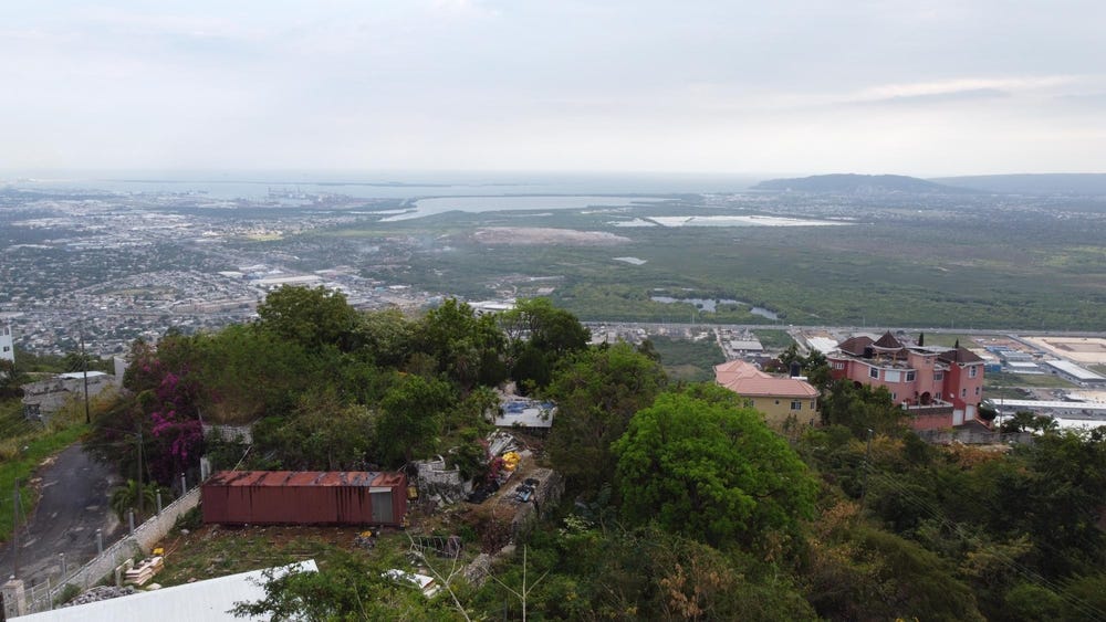
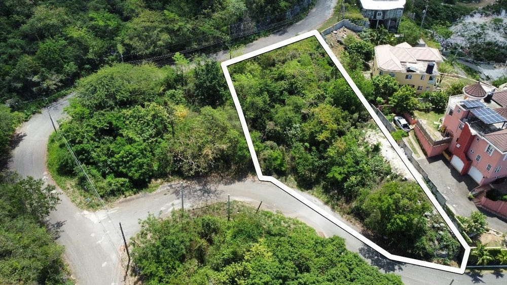
31 PLANTATION HEIGHTS, Tom Cringle Drive, Ferry, St. Andrew
Property information for Tom Cringle Drive, KINGSTON 20, Ferry, St. Andrew
🗺️ Property Map
Interactive map showing the exact property boundaries and location
Loading map...
AI-powered estimation based on comprehensive analysis of location, demographics, infrastructure, and market factors
Estimated Value (JMD)
JMD 20,470,742
Estimated Value (USD)
USD 136,472
Market Multiplier
0.97x
📊 Value Range Analysis
JMD Range:
JMD 16,376,594 - JMD 24,564,890
JMD 16,376,594 - JMD 24,564,890
📊 Analysis Details
Summary: AI analysis indicates a land value of JMD 20,470,742 based on 80% confidence analysis of population density, building count, facilities, and environmental factors.
Key Factors: Population density: 401479 people • Building count: 1
Tax Status: Not Available
Legal: Property appears to be legally registered
Improvements: Property has existing structures
🛰️ Land & market signals
🌿 Vegetation
NDVI 0.70 · high_green
Sentinel-2
⛰️ Terrain
536 m · 8.4° slope
SRTM
💧 Flood risk
low
Modelled estimate
👥 Population
~401,479 people
HRSL · estimated count, not density
🌙 Night lights
83
VIIRS
In and Around
Buildings, public facilities, attractions and transport identified at or near this parcel — sourced from OpenStreetMap and our analysis pipeline.
Transport
1- ServiceNearby7 m