14, 17 HOPE ROAD, Half-Way-Tree, St. Andrew
Property information for 17 HOPE ROAD, KINGSTON 10, Half-Way-Tree, St. Andrew
🗺️ Property Map
Interactive map showing the exact property boundaries and location
Loading map...
AI-powered estimation based on comprehensive analysis of location, demographics, infrastructure, and market factors
Estimated Value (JMD)
JMD 612,360,000
Estimated Value (USD)
USD 4,082,400
Market Multiplier
1.02x
📊 Value Range Analysis
JMD Range:
JMD 489,888,000 - JMD 734,832,000
JMD 489,888,000 - JMD 734,832,000
📊 Analysis Details
Summary: AI analysis indicates a land value of JMD 612,360,000 based on 95% confidence analysis of population density, building count, facilities, and environmental factors.
Key Factors: Population density: 150050 people • Building count: 4
Tax Status: Available
Legal: Property appears to be legally registered
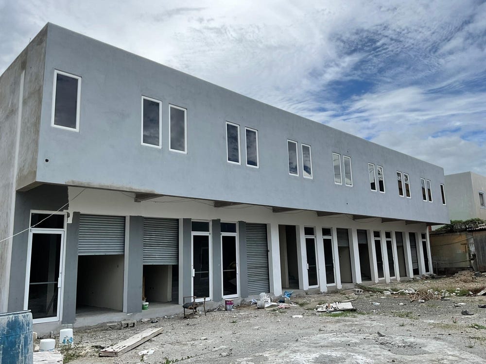
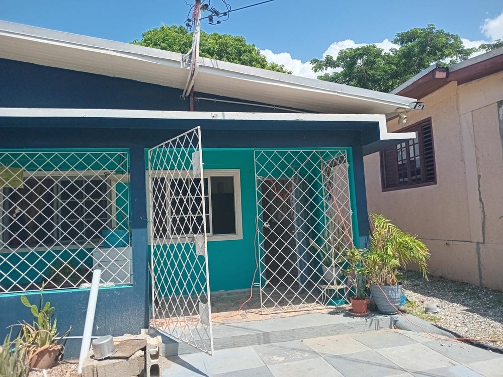
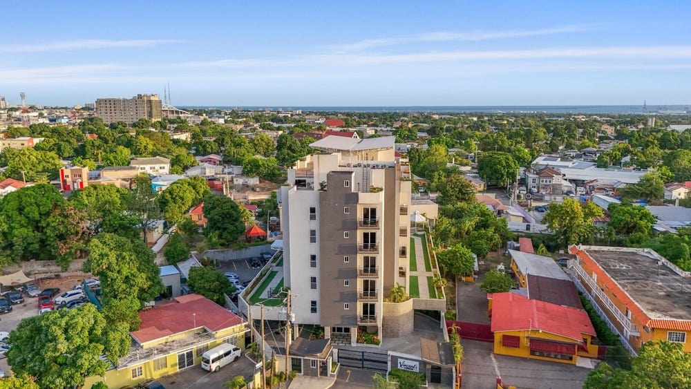
Improvements: Property has existing structures
🛰️ Land & market signals
🌿 Vegetation
NDVI 0.70 · high_green
Sentinel-2
⛰️ Terrain
541 m · 8.4° slope
SRTM
💧 Flood risk
low
Modelled estimate
👥 Population
~150,050 people
HRSL · estimated count, not density
🌙 Night lights
80
VIIRS
In and Around
Buildings, public facilities, attractions and transport identified at or near this parcel — sourced from OpenStreetMap and our analysis pipeline.
Buildings
1- Bureau of Standards JamaicaNearby1 m
Public Facilities
3- Saint Andrew High School for GirlsNearby213 mSchool
- Centre For Investigation Of Sexual Offences & Child AbuseNearby218 mPolice Station
- St. Andrew High for GirlsNearby364 mSchool
Attractions
2- YMCANearby128 m
- Ruthven Road Community playfieldNearby174 m
Retail & Commercial
5- Krispy KremeNearby178 mFast Food
- Winchester apartmentsNearby188 mCafe
- Bethel Baptist ChurchNearby305 mPlace of Worship
- Clock Tower PlazaNearby322 mShop
- The Girl Guides Association of JamaicaNearby334 mCommunity Centre
Transport
4- ServiceInside
- ServiceNearby13 m
- Rekadom AvenueNearby29 mResidential
- Taxi RankNearby386 mTaxi Rank