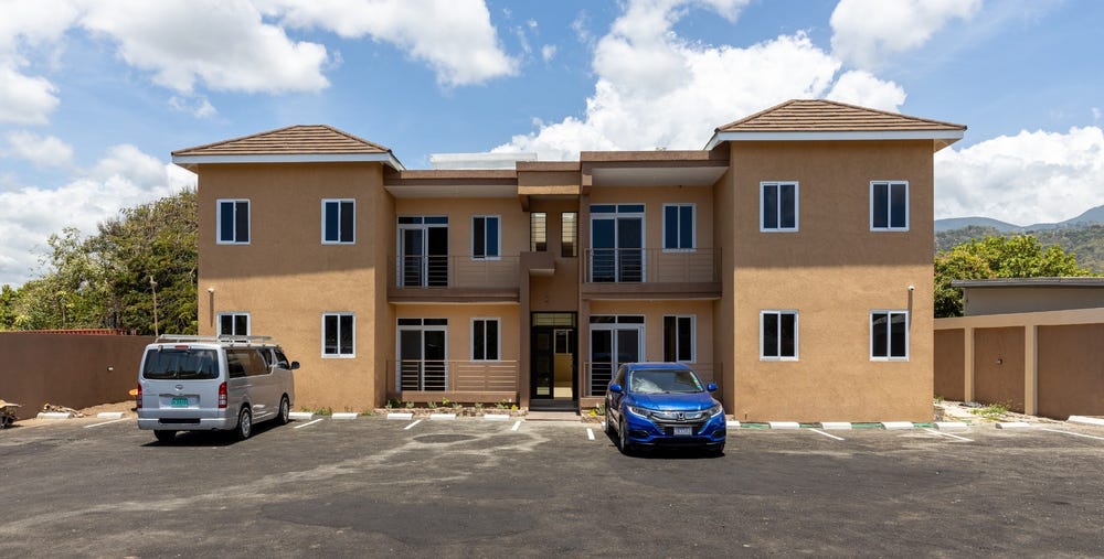
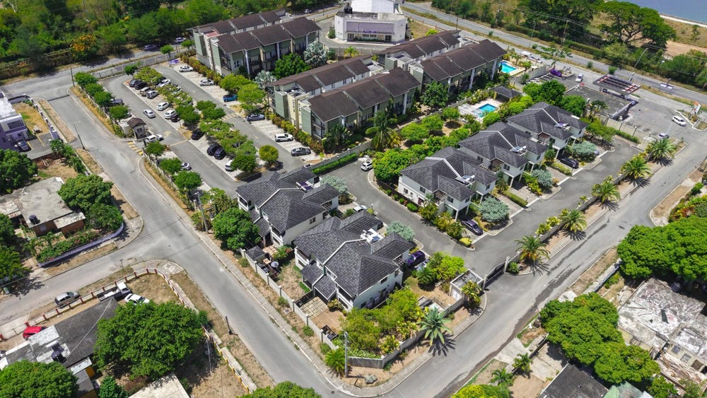
Buttercup Drive, Mona Heights, St. Andrew
Property information for Buttercup Drive, KINGSTON 6, Mona Heights, St. Andrew
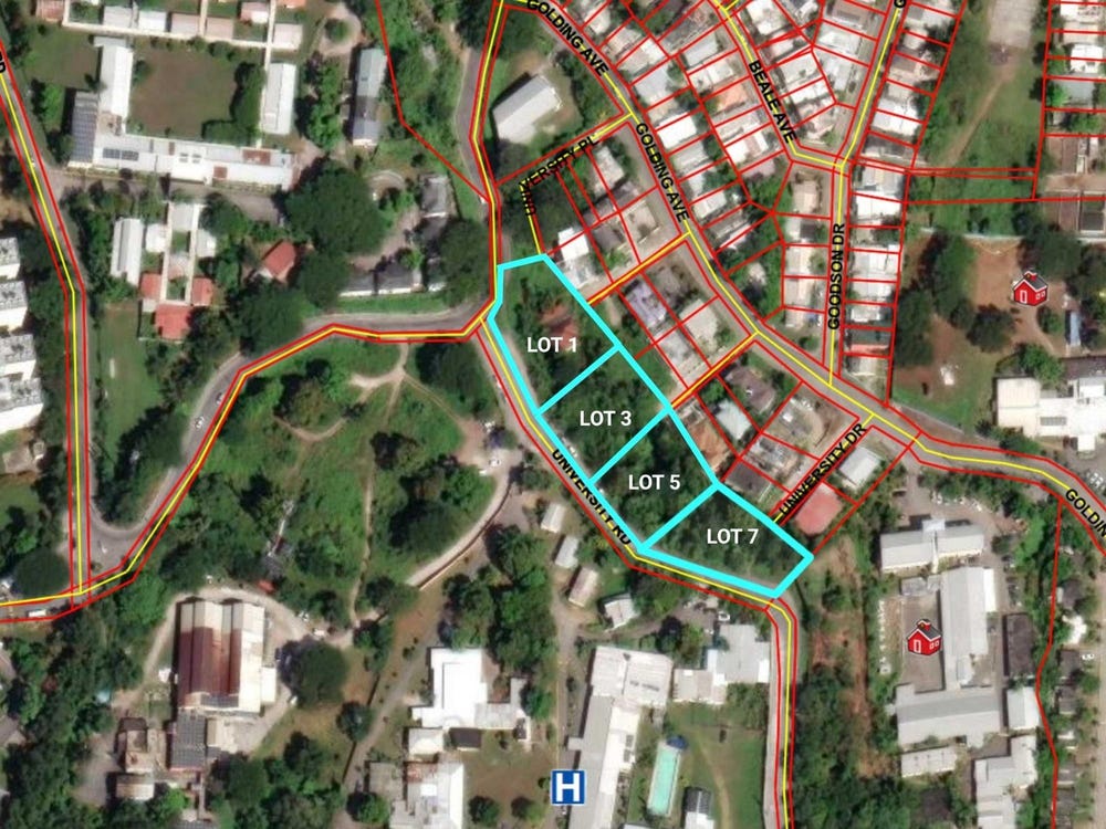
🗺️ Property Map
Interactive map showing the exact property boundaries and location
Loading map...
AI-powered estimation based on comprehensive analysis of location, demographics, infrastructure, and market factors
Estimated Value (JMD)
JMD 101,876,476
Estimated Value (USD)
USD 679,177
Market Multiplier
0.92x
📊 Value Range Analysis
JMD Range:
JMD 81,501,181 - JMD 122,251,771
JMD 81,501,181 - JMD 122,251,771
📊 Analysis Details
Summary: AI analysis indicates a land value of JMD 101,876,476 based on 75% confidence analysis of population density, building count, facilities, and environmental factors.
Key Factors: Population density: 87193 people
Tax Status: Not Available
Legal: Property appears to be legally registered
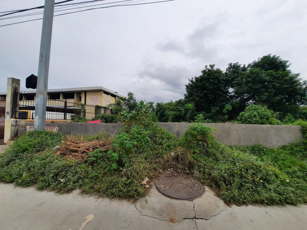
Improvements: Vacant land with development potential
🛰️ Land & market signals
🌿 Vegetation
NDVI 0.70 · high_green
Sentinel-2
⛰️ Terrain
541 m · 8.4° slope
SRTM
💧 Flood risk
low
Modelled estimate
👥 Population
~87,193 people
HRSL · estimated count, not density
🌙 Night lights
83
VIIRS
In and Around
Buildings, public facilities, attractions and transport identified at or near this parcel — sourced from OpenStreetMap and our analysis pipeline.
Public Facilities
2- Mona Heights PrimaryNearby235 mSchool
- University Hospital Of The West IndiesNearby398 mHospital
Attractions
3- Buttercup ParkInside
- Sunken GardensNearby296 m
- Front Field 1Nearby350 m
Retail & Commercial
5- University of Technology, JamaicaNearby341 mUniversity
- MINDNearby380 mTraining
- The Art CenterNearby388 mShop
- The Management Institute for National Development (MIND)Nearby402 mTraining
- University of the West Indies (Mona)Nearby2.1 kmUniversity
Transport
6- Buttercup DriveInsideResidential
- Petunia WayInsideResidential
- ServiceInside
- Camelia PlaceNearby70 mService
- PathNearby116 m
- ServiceNearby126 m